")
")
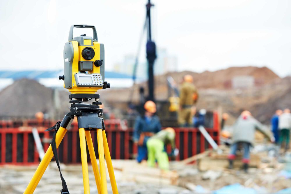
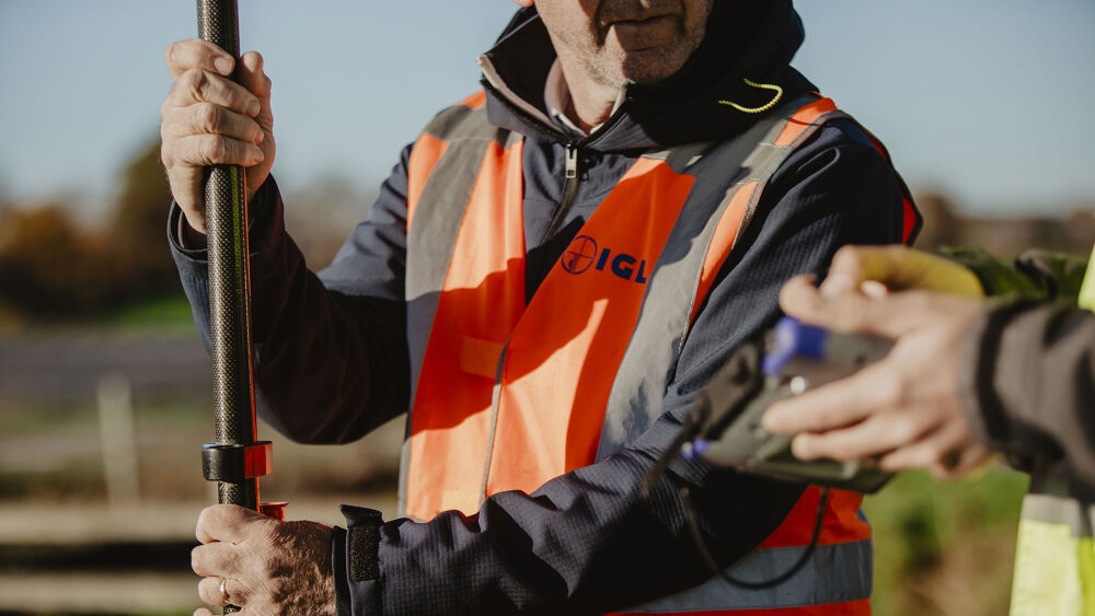
IGL is the reliable partner for the acquisition of high quality data on land and water.
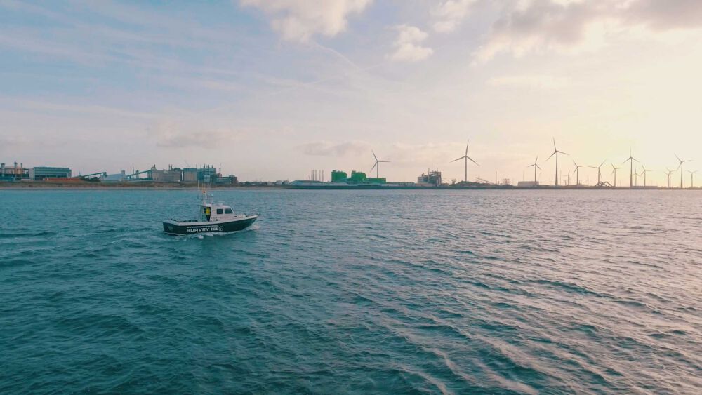
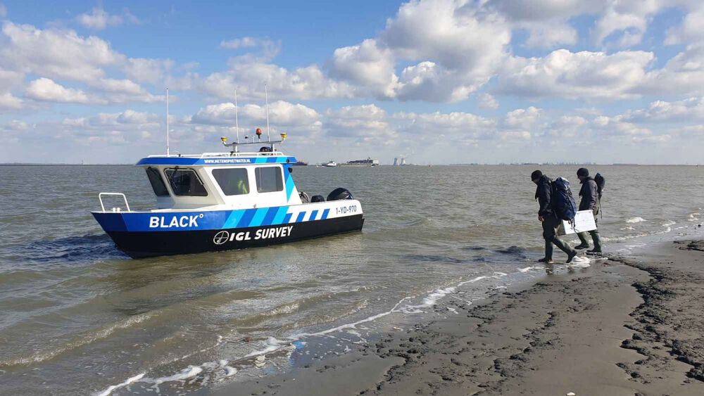
Next to geodesy, hydrography is an important activity within the IGL Group. We mainly focus on mapping the underwater soil and objects located in or on it. Furthermore, we also perform various manual profile measurements and soil sampling. Due to a wide range of owned modern equipment, many projects can be carried out using the equipment best suited for the situation and the requirements of our clients.
Our policy
Together with our result driven professionals and partners we aim for quality and continuity with the highest efficiency and pleasure. We are proud of our employees and the core values we strive for in order to be and remain a good partner to all parties involved. The core values that we within the IGL Group embrace, are: reliability, a solution-oriented approach, flexibility, professionalism and sustainability.
Techniques
We distinguish ourselves in the market by innovative applications of the most advanced techniques. To this end ranging from modifications to measuring equipment to completely new components.
Techniques
- Multibeam
- Dual frequency echo sounder / parametric echo sounder / sub-bottom profiler
- Side scan sonar
- Magnetometer
- ADCP
Our employees and fleet
We have the possibility to use a wide range of survey boats, from large seaworthy vessels to trailerable measuring boats, providing us with a high flexibility. Our boats are equipped with high quality measuring equipment and are manned by our professionals.
Consultancy
The combination of disciplines and competences enables an integral project approach. We can carry out and supervise hydrographic projects from initiation to completion. Involving IGL from the start of a project, an IGL consultant can envision the possible risks, the interpretation of measurement and calibration processes, control, validation & verification activities, etc.